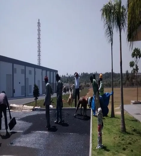
11 disciplines, one team.
From the first survey to the final audit, the data behind every design comes from the same team that stands behind it.
- 01
GIS & Remote Sensing
Photogrammetry, DEMs, land use mapping, vegetation indices, and forest and wildlife studies from satellite and drone data.
- 02
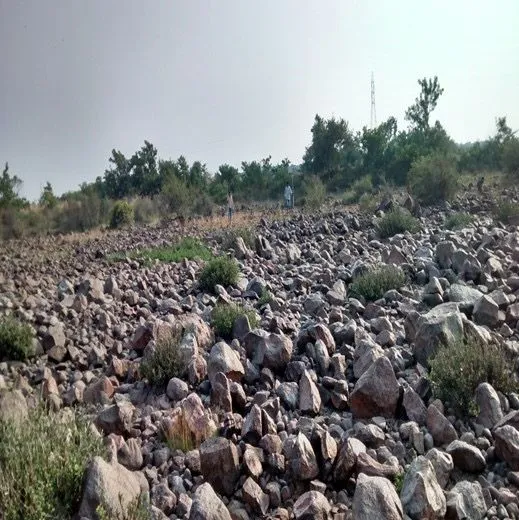
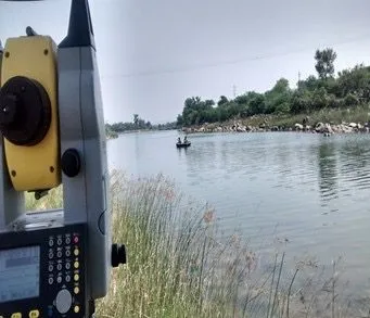
Surveying & Mapping
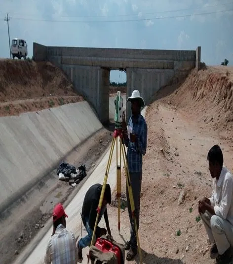
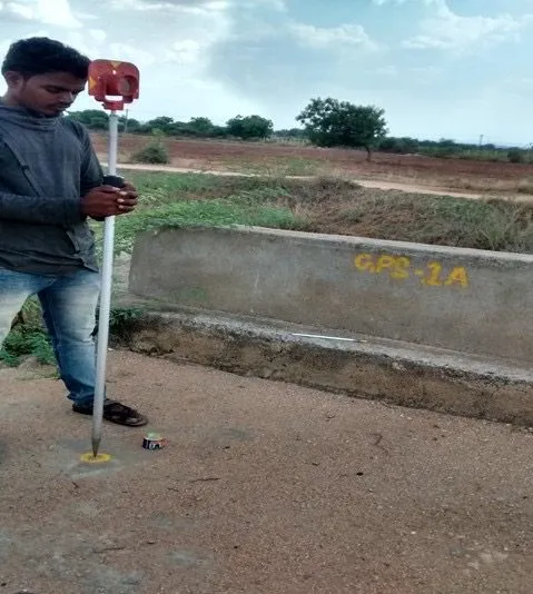
Total station, DGPS, digital levelling, LiDAR and drone surveys that give designers an accurate picture of the ground.
- 03
Energy
Investigations, PFRs and DPRs for hydro, solar, wind and pumped storage, plus transmission lines and energy storage.
- 04
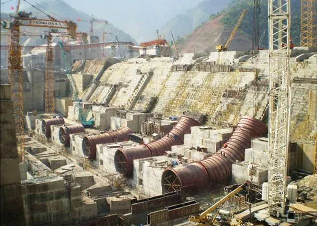
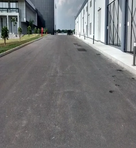
Industrial Structures
Investigations, design and execution support for industrial buildings, foundations and plant structures.
- 05
Architecture, Town Planning & Urban Design
Industrial townships, residential layouts and mixed-use developments, from master plan to design.
- 06
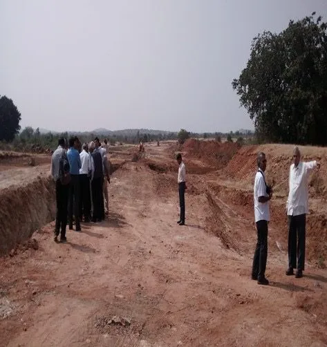
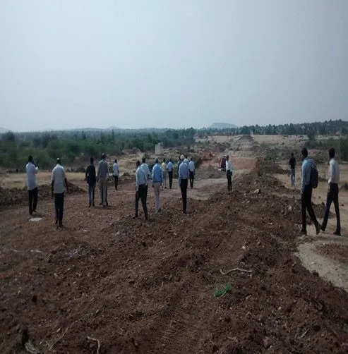
Land Development & Infrastructure
Site appraisal and infrastructure design for industrial parks, campuses and large developments.
- 07
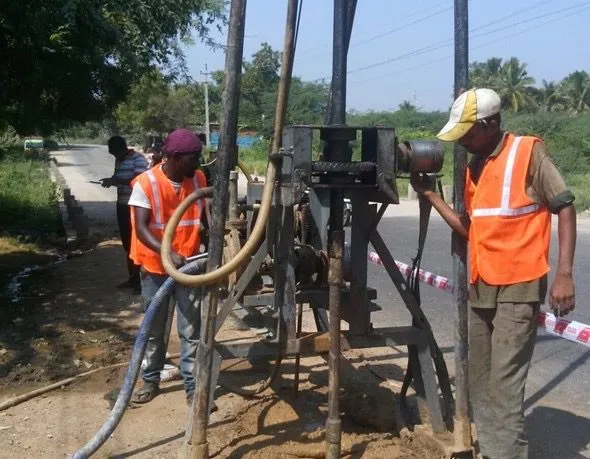
Geotechnical & Materials
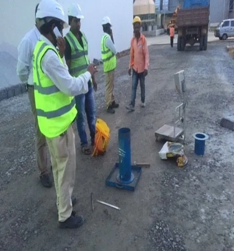
Soil investigations, foundation design, ground improvement and a materials testing laboratory.
- 08
Project Advisory & Management
Feasibility, DPRs, tender engineering, construction supervision and technical audits.
- 09
Water Resources Engineering
Reservoirs, canal networks, lift and micro irrigation, command area planning and surface flow studies.
- 10
Water Supply & Wastewater Engineering
Water supply schemes, treatment plants, distribution networks, sewerage and sewage treatment.
- 11
Transportation Engineering
Expressways, highways, bridges, ROBs and RUBs, railways and waterways, from alignment survey to detailed design.